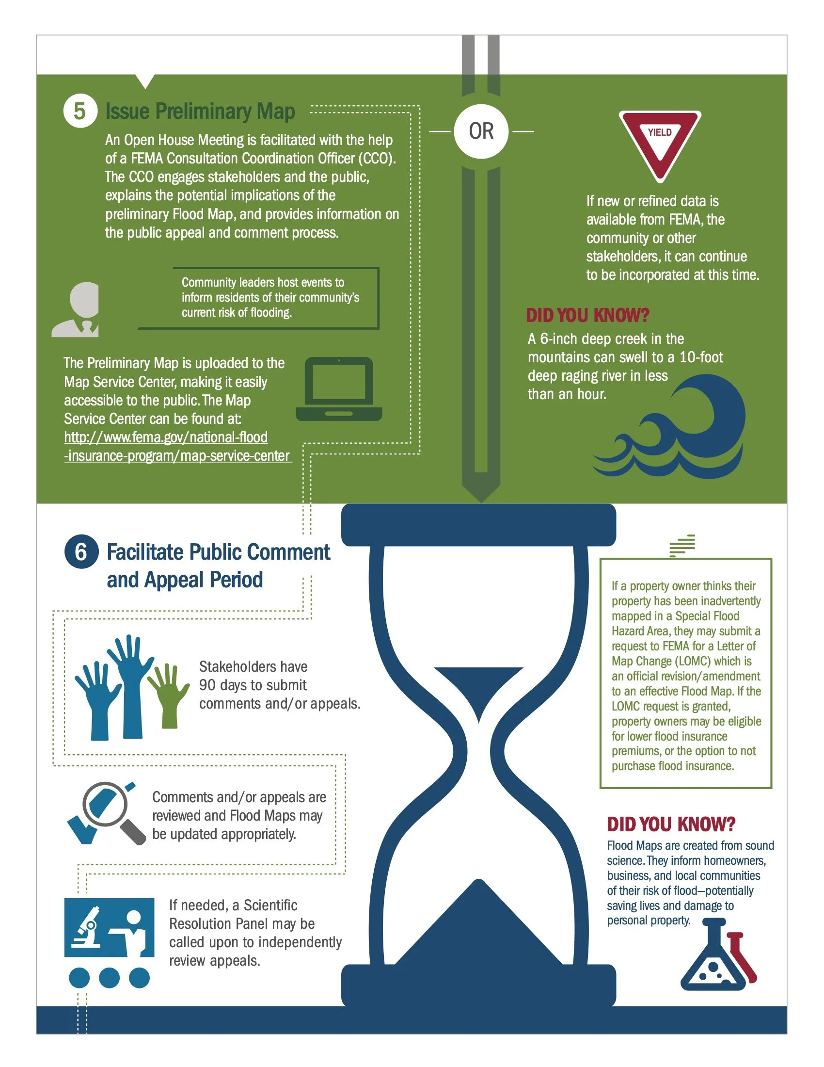
Flood maps are an essential tool for individuals and communities to assess the risk of flooding in their area. They are maintained and updated by FEMA through continuous data collection and risk assessments. These maps show the likelihood of flooding in a particular area, with any place having a 1 chance or higher considered to be at high risk. It's important to note that floods don't follow city limits or property lines, so understanding your property's relationship with high-risk areas is crucial. Although there is no such thing as a no-risk zone, using these maps can help individuals and communities make informed decisions about flood insurance and disaster preparedness. The mapping link below can help assess your risk.


